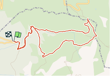

3.6 km | 6.5 km-effort

User


FREE GPS app for hiking
 SityTrail
IGN / Geographical institutes
SityTrail World
The world is yours!
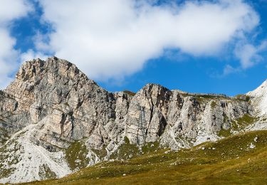
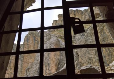
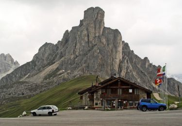
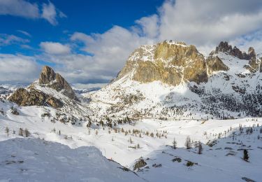
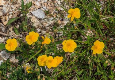
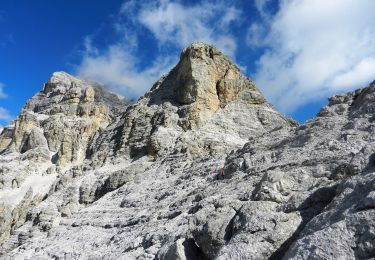
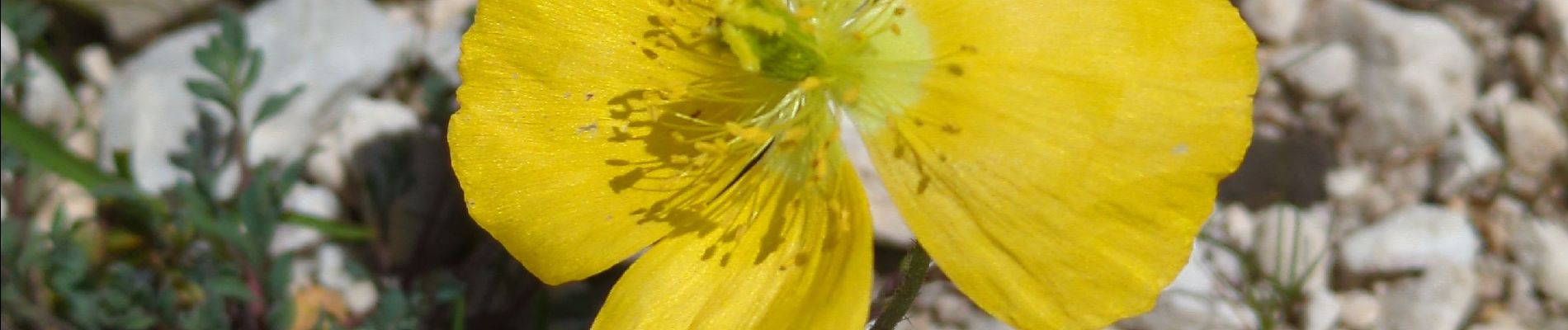
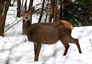
Trail Walking of 7 km to be discovered at Veneto, Belluno, Selva di Cadore. This trail is proposed by Noiraude.


On foot